Overview
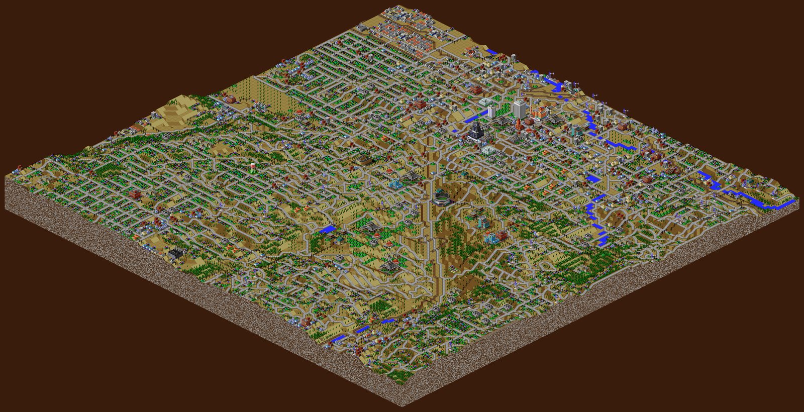
Give it a real town or city and a spatial resolution, and it builds two things from public map data: a playable city (a .SC2 file for the Win95 version of SimCity 2000 that matches your input place), and a large poster image of that city drawn in SimCity’s own style.
How It Works
There’s a lot going on. Using QGIS plus many data sources, it assembles a very data-rich map of your city — transportation networks, topography, hydrology, power infrastructure, and all the buildings with their names and purposes. All of that is then translated into the parameters the SimCity 2000 engine understands and written out as the save file: real terrain, lakes, streams, trees, roads, rail, zones, landmarks, power and water. The geographic steps run in QGIS (via the QGIS MCP bridge or the QGIS Python console); the rest is Python — numpy, Pillow, scipy, shapely, scikit-image — reading the game’s own sprite and map data read-only to assemble both the .SC2 and the plotter-sized poster.
Current Status
Working end to end: a real place becomes both a playable SimCity 2000 save and a plotter-sized isometric poster. First done was Richland, MI and the west side of Gull Lake; Kalamazoo came next, with more to come.